The USGS publishes a series of excellent maps, as large file PDFs that contain a great amount of detail regarding rock type, fault location, fault offset, etc. For hikers this information is not only educational, but quite valuable for planning routes, knowing where cliff forming rock layers are, and so on. Also note that the maps are simply beautiful.
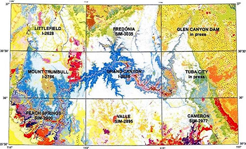
The maps are laid out as a series of 9 – 30 x 60 quadrangles with the following larger view:

In order to launch a new window for a specific USGS page, click on the quadrangle you want.
